In the mid-18th century, Gorokhovets was cut off from the most important transport overland routes. At the same time, the town underwent changes, proposed by the Commission of Stone Buildings of Moscow and Saint Petersburg, to a lesser extent than expected.
In 1763, the commission started developing projects for the regular replanning of all towns of the Russian Empire, changing them following the ideas of the classicism era. Instead of the former chaotic arrangement of streets, a system was introduced to break down the urban area into a clear grid of geometrically accurate blocks and to place houses on a single building line.
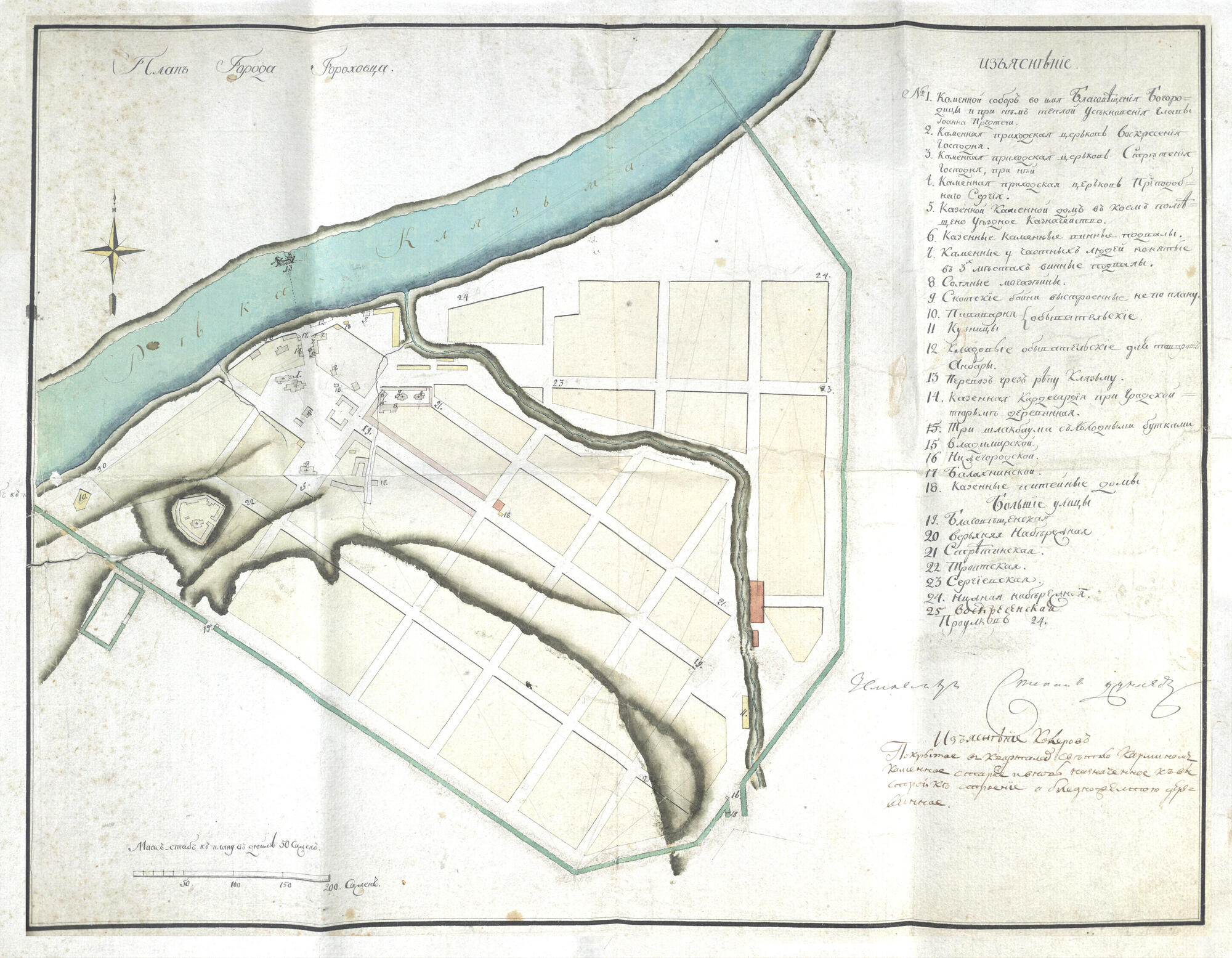
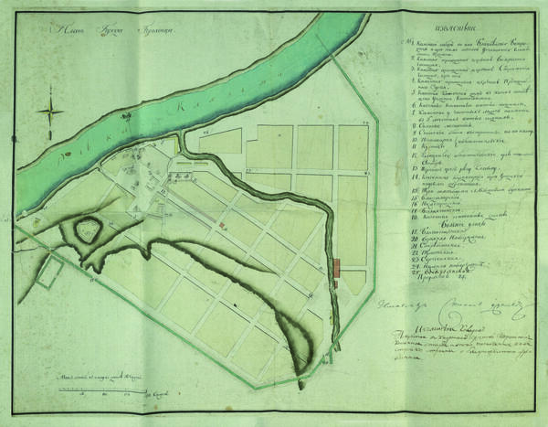
Gorokhovets received the first “Most Highly Approved” plan for regular replanning in 1787. Unlike in other towns of the Vladimir Governorate, the plan was adapted to the already formed architectural realities to a greater extent. It took into account the Mogilenka River, dividing Gorokhovets into two parts, for which there were different planning solutions. However, the plan was not ready for the existing natural landscape.
According to the plan, the streets were slightly straightened. Their arrangement was still guided by the directions of the hills and the streambed of the Klyazma River. Bolshaya Street, renamed Blagoveshchenskaya, remained the main road. Parallel to it, Sretenskaya Street was established on the site of former wastelands and vegetable gardens. The next street, that was straightened, received a new name — Sergiyevskaya.
In most Russian towns, regular planning was not implemented to the full extent. The plan was most significantly changed in the case of Gorokhovets. More than once, there were attempts to adjust the plan — in 1809, 1822, and 1836. But in the end, the goal was never achieved. This happened because of the difficult terrain, which made it harder to implement regular planning, and the insufficient funding, which made large-scale construction impossible.
Thus, Gorokhovets turned out to be among those few Russian towns that managed to largely preserve their ancient pre-regular planning since the architectural modifications of the late 18th century.
In 1763, the commission started developing projects for the regular replanning of all towns of the Russian Empire, changing them following the ideas of the classicism era. Instead of the former chaotic arrangement of streets, a system was introduced to break down the urban area into a clear grid of geometrically accurate blocks and to place houses on a single building line.
Gorokhovets received the first “Most Highly Approved” plan for regular replanning in 1787. Unlike in other towns of the Vladimir Governorate, the plan was adapted to the already formed architectural realities to a greater extent. It took into account the Mogilenka River, dividing Gorokhovets into two parts, for which there were different planning solutions. However, the plan was not ready for the existing natural landscape.
According to the plan, the streets were slightly straightened. Their arrangement was still guided by the directions of the hills and the streambed of the Klyazma River. Bolshaya Street, renamed Blagoveshchenskaya, remained the main road. Parallel to it, Sretenskaya Street was established on the site of former wastelands and vegetable gardens. The next street, that was straightened, received a new name — Sergiyevskaya.
In most Russian towns, regular planning was not implemented to the full extent. The plan was most significantly changed in the case of Gorokhovets. More than once, there were attempts to adjust the plan — in 1809, 1822, and 1836. But in the end, the goal was never achieved. This happened because of the difficult terrain, which made it harder to implement regular planning, and the insufficient funding, which made large-scale construction impossible.
Thus, Gorokhovets turned out to be among those few Russian towns that managed to largely preserve their ancient pre-regular planning since the architectural modifications of the late 18th century.

