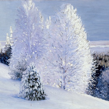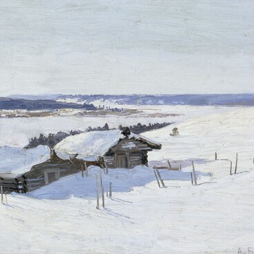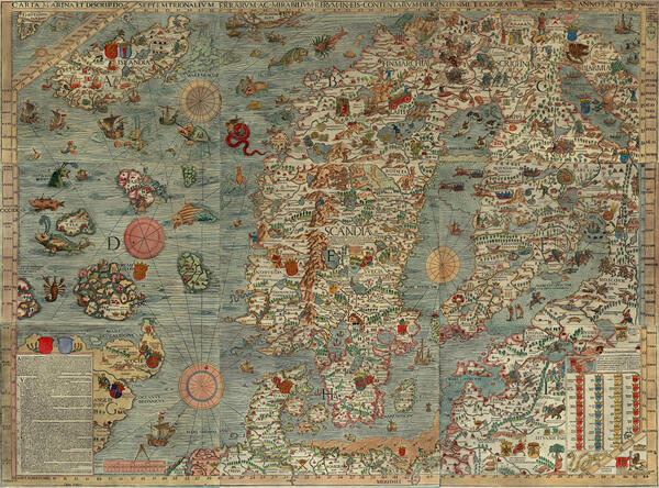
Geography cannot exist without maps. Maps are made to represent climatic, geological, geophysical, social, political, as well as historic and economical traits of regions and countries. Moreover, there are pictorial maps, that depict cultural aspects of a certain place, like the map shown here. The canvas exhibited here is a copy of the Marine map and Description of the Northern Lands and of their Marvels, most carefully drawn up at Venice in the year 1593.
Pictorial maps, with their peculiar details and appearance, are self-sufficient works of art, full of symbols and hidden messages. The inspiration for creating those maps was usually drawn from travel essays and diaries. It has to do with the unique position of the traveler. A traveler is an observer that takes in geographical space and reacts according to his or her sociocultural attitudes.
In the 16th century, one such observer was Olaus Magnus, a Swedish ecclesiastic, archdeacon of Uppsala, diplomat, cartographer and writer. It was Magnus who created the Marine Map (or Carta Marina), one of the most realistic maps of Northern Europe of the era. Carta Marina was published in 1539, along with a book of commentaries with the title A Description of the Northern Peoples.
Apart from geographical data, the map contains a lot of historical and anthropological details. Magnus was distinguished by an acute power of observation, a thirst for knowledge and a genuine curiosity about everything he encountered during his journeys, which occupied him through much of his life. On the map, Magnus depicted inhabitants of various countries and regions in their traditional clothes. He showed the way of life of Northern peoples, provided insight into their military campaigns, their armour, their hunting and fishing sites. Moreover, he depicted sea monsters that, according to the scientists of the age, lived in the deep sea. Some illustrations are accompanied by explicative comments. The legend in Latin is situated in the lower left corner of the map.